Lake Tanganyika cichlids — species, locations & maps
By genera
By locations
Species List (A–Z)
Interactive map
Locations
Species Map
Posters
Photo Credits
Search
×
Copy link
Share
Facebook
Singa Island, Lake Tanganyika, Tanzania
Photo gallery
Singa Island, northern side. From here, an underwater ridge runs 500 meter north to Kala Island, connecting the underwater habitats of the islands.
Photo: © African Diving Ltd
Singa Island, one of six islands in the Kala Archipelago (Kalala, Mikongolo, Nausingili, Maleza, Singa and Kala). Maleza Hill in the background.
Photo: © African Diving Ltd
×
◀
▶
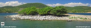
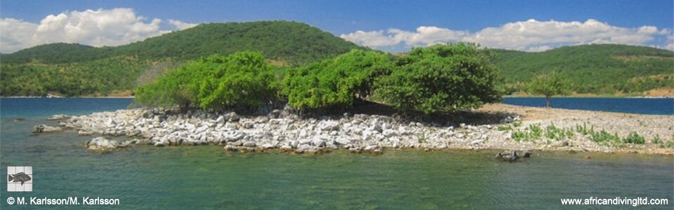



Photo gallery
Photo: © African Diving Ltd
Photo: © African Diving Ltd